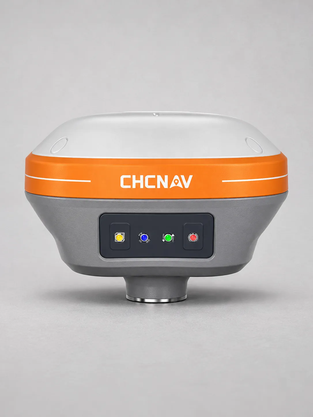
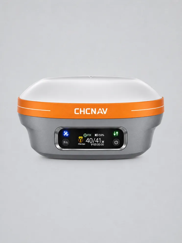
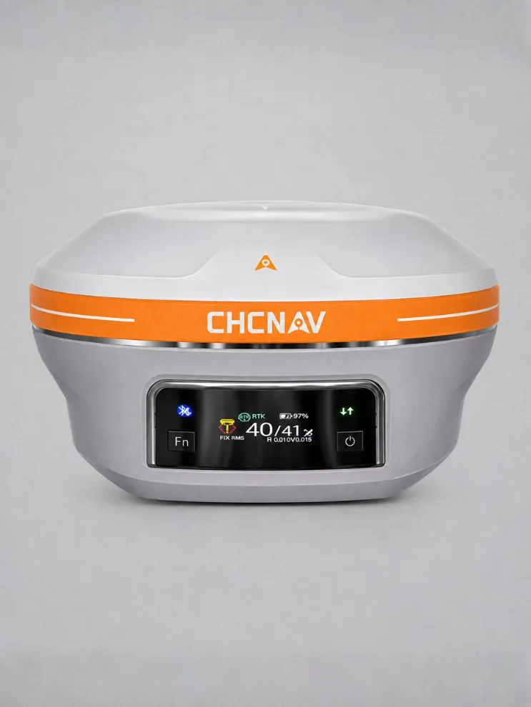
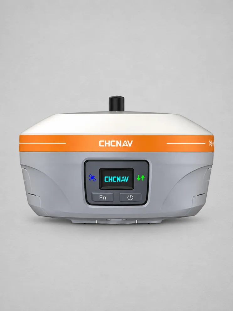
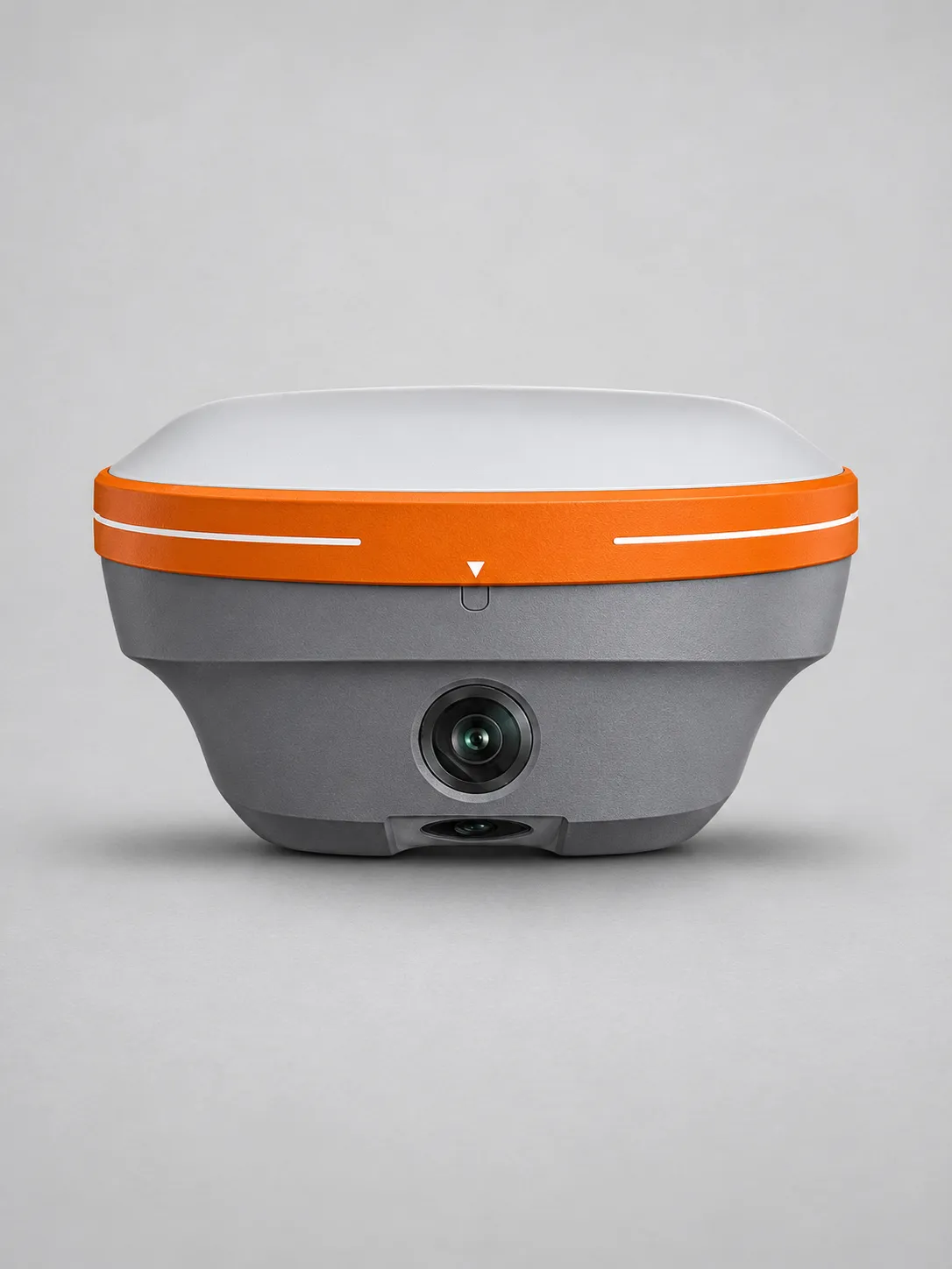
Visual-LiDAR GNSS RTK | CHCNAV ViLi i100
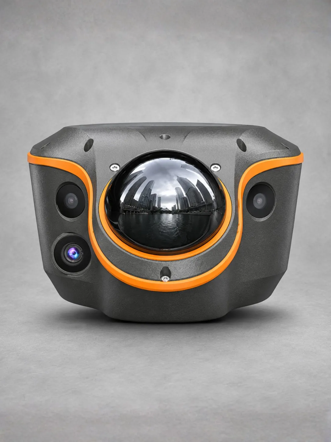
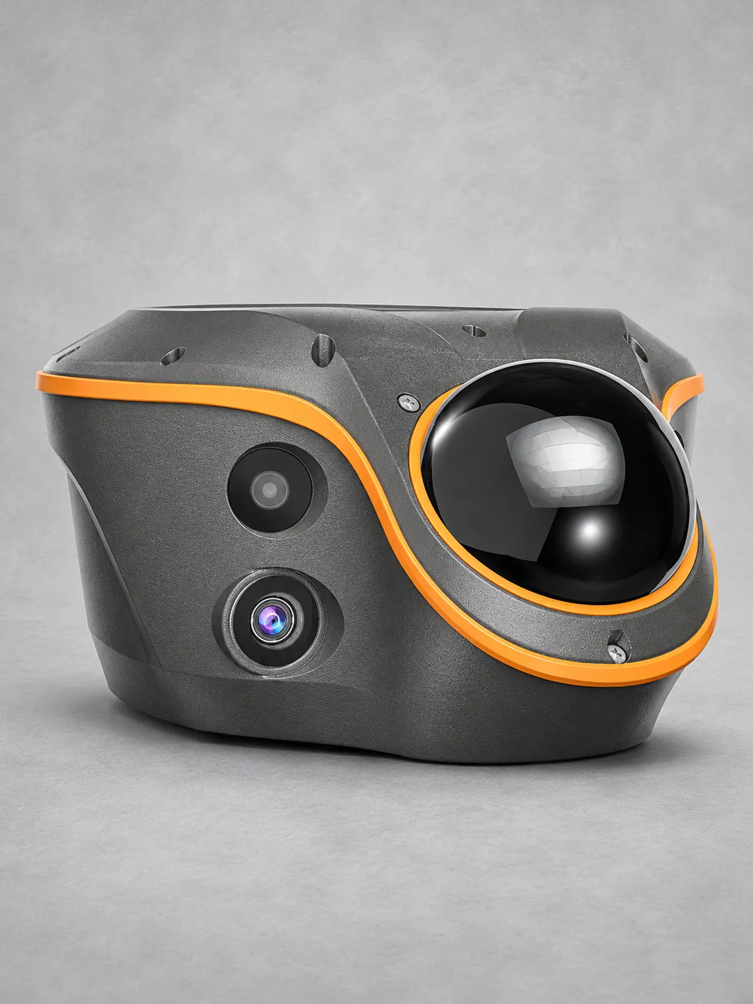
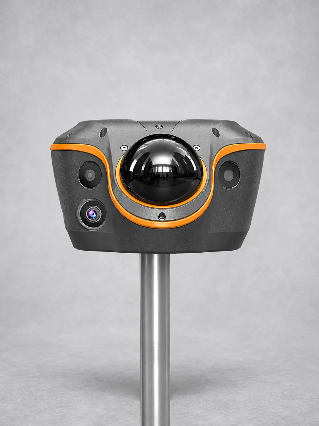
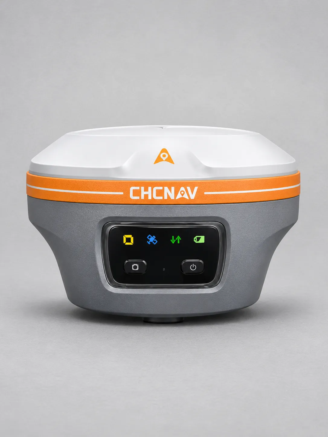
The CHCNAV ViLi i100 combines GNSS RTK, cameras and LiDAR for surveying in obstructed environments, contactless point capture and earthwork volume calculations.
Advanced satellite filtering and SFix 2.0 positioning support centimetre-level surveying, with stated accuracy of 5 cm within 20 metres in GNSS-denied areas under specified conditions.
Vi-LiDAR technology enables contactless measurements and batch extraction of survey points from captured imagery, helping teams measure hard-to-reach features efficiently.
The integrated LiDAR captures up to 860,544 points per second, with a 360° horizontal field of view and range up to 70 metres at 80% reflectivity.
Full GNSS positioning, a 200 Hz IMU and four cameras support flexible field workflows. Point cloud scanning enables on-site earthwork volume calculations.
Weighing 1.39 kg, the receiver features IP67 protection and resistance to a 2-metre drop. The rover kit includes a TC100 rugged Android tablet with a sunlight-readable display.