Surveying & Engineering Equipment: GPS & GNSS

• Total Stations • 3D Laser Scanners • Underground Detectors • Auto Levels

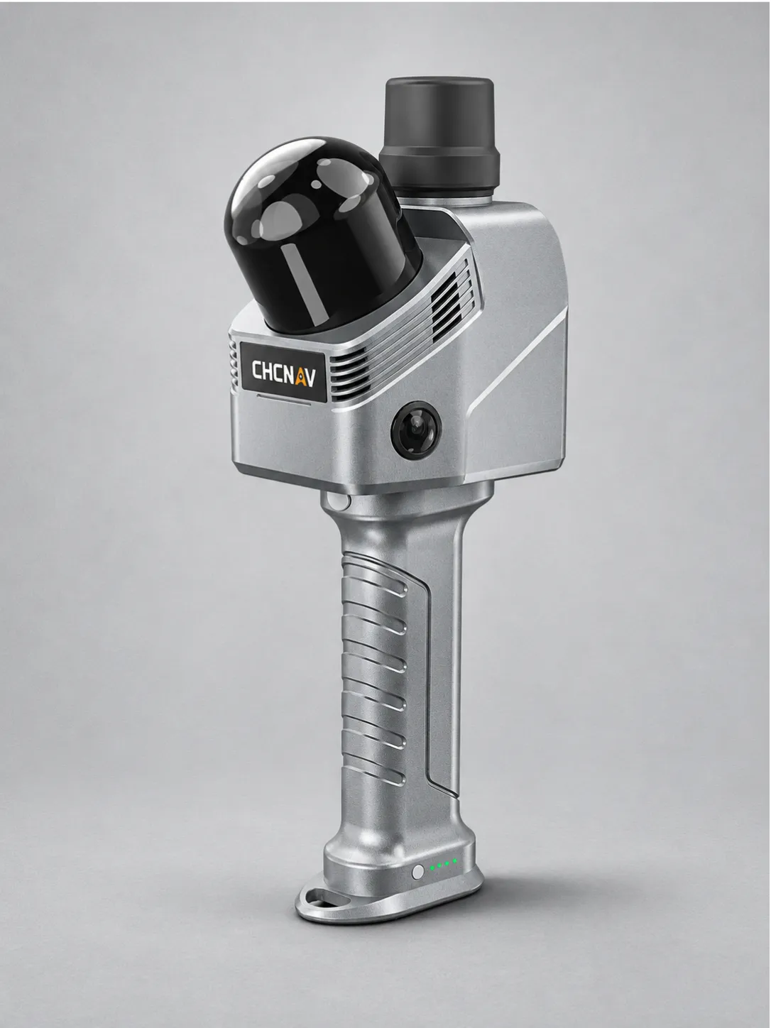
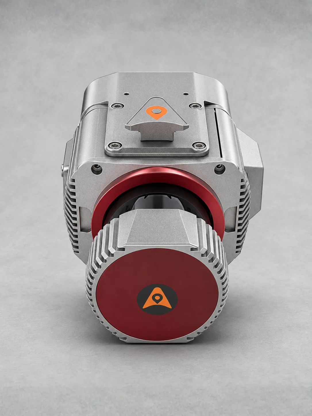
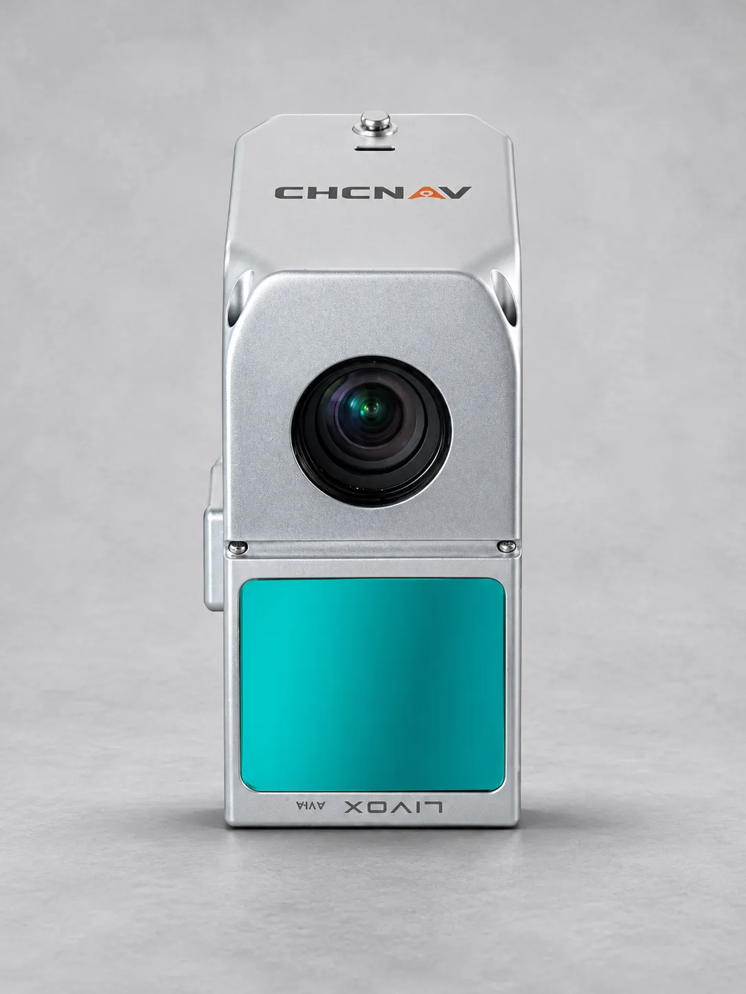
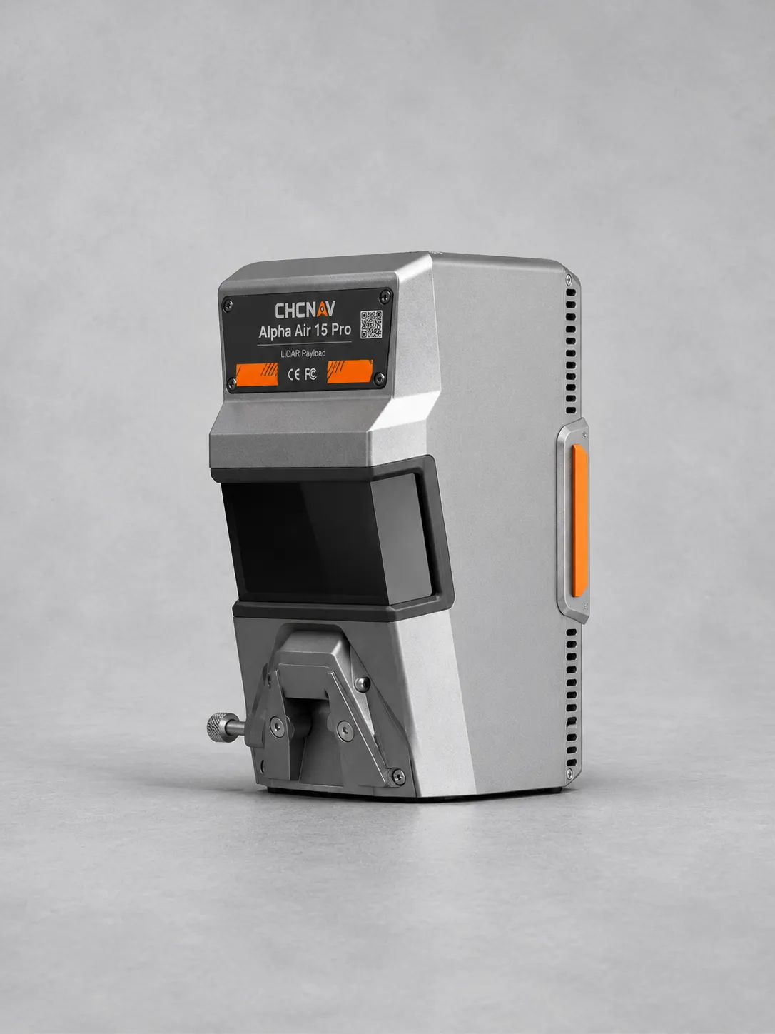
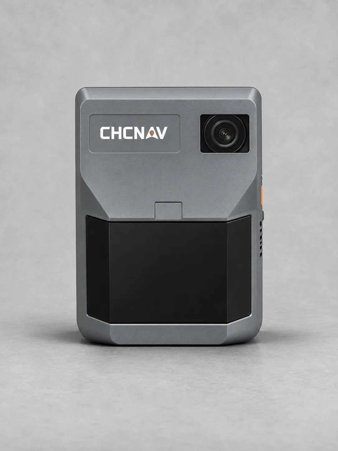
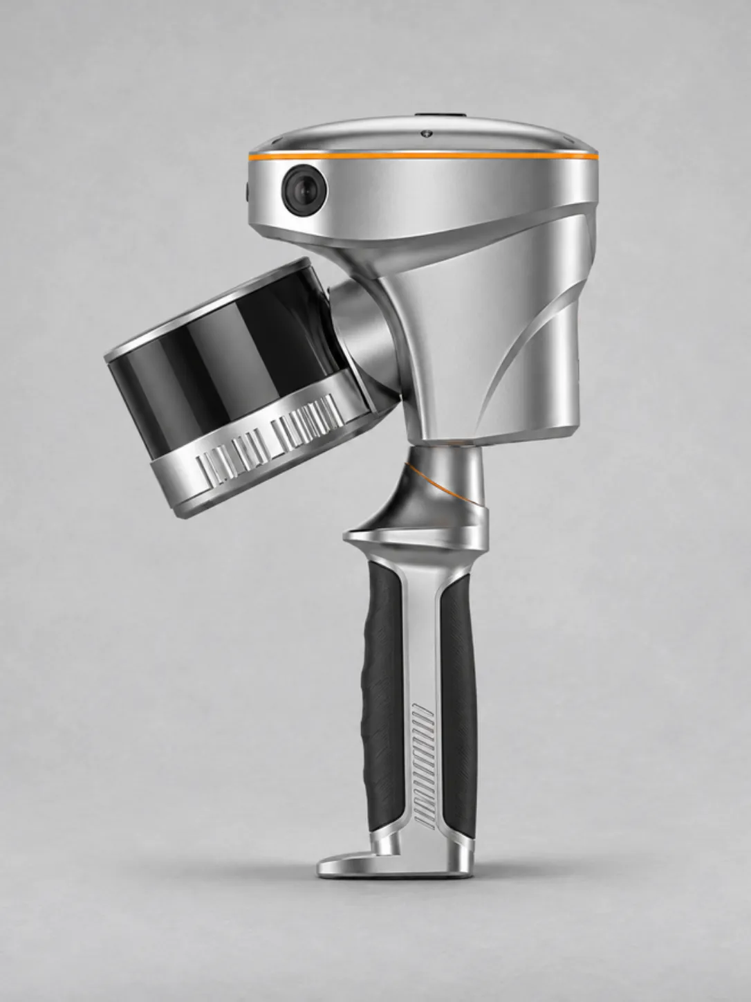
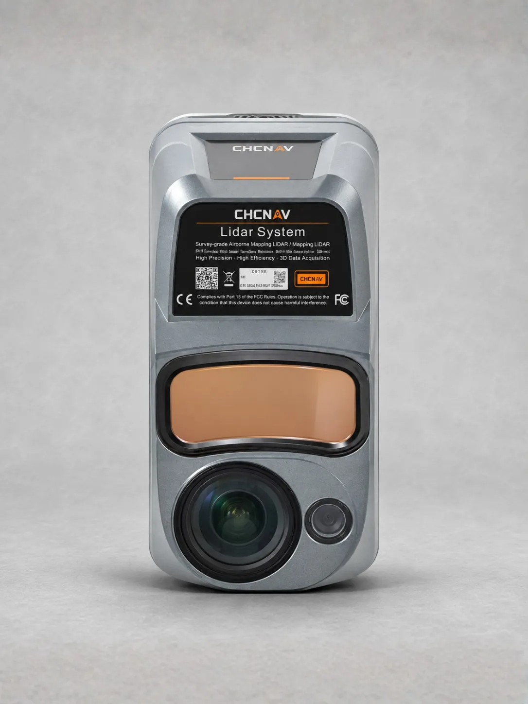
AU20 MMS CHCNAV

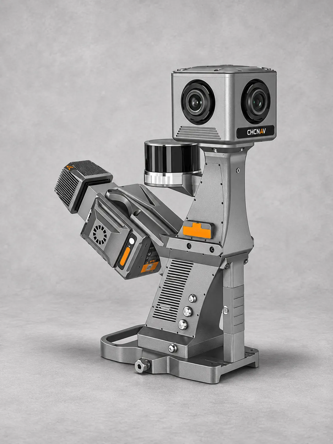
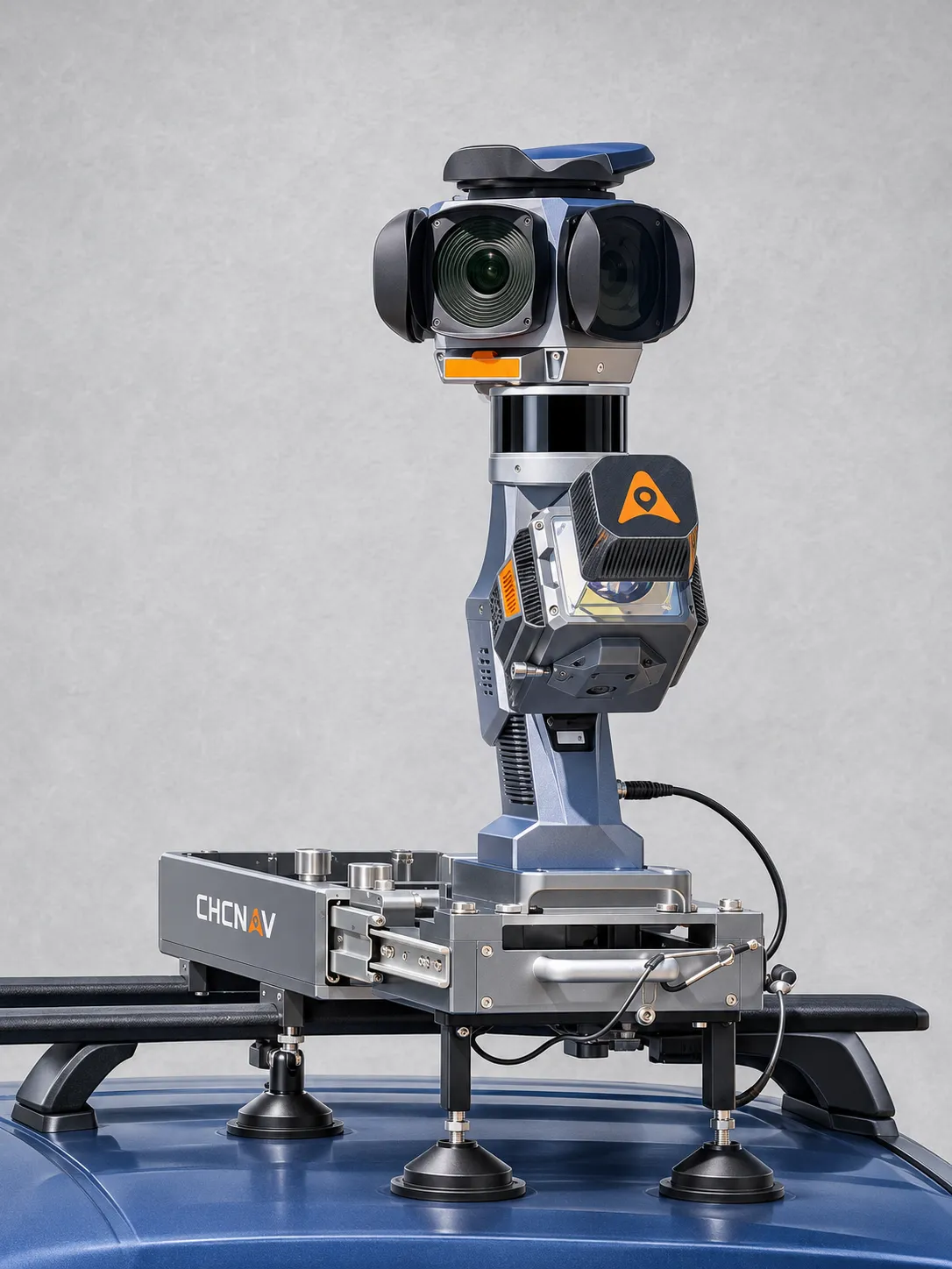
The CHCNAV AU20 MMS is a vehicle-mounted mobile mapping system for highway surveys, road asset management, reconstruction and as-built verification.

Advanced LiDAR captures up to 2 million points per second, with stated scanning accuracy of 5 mm and precision of 3 mm for detailed road surface and infrastructure mapping.

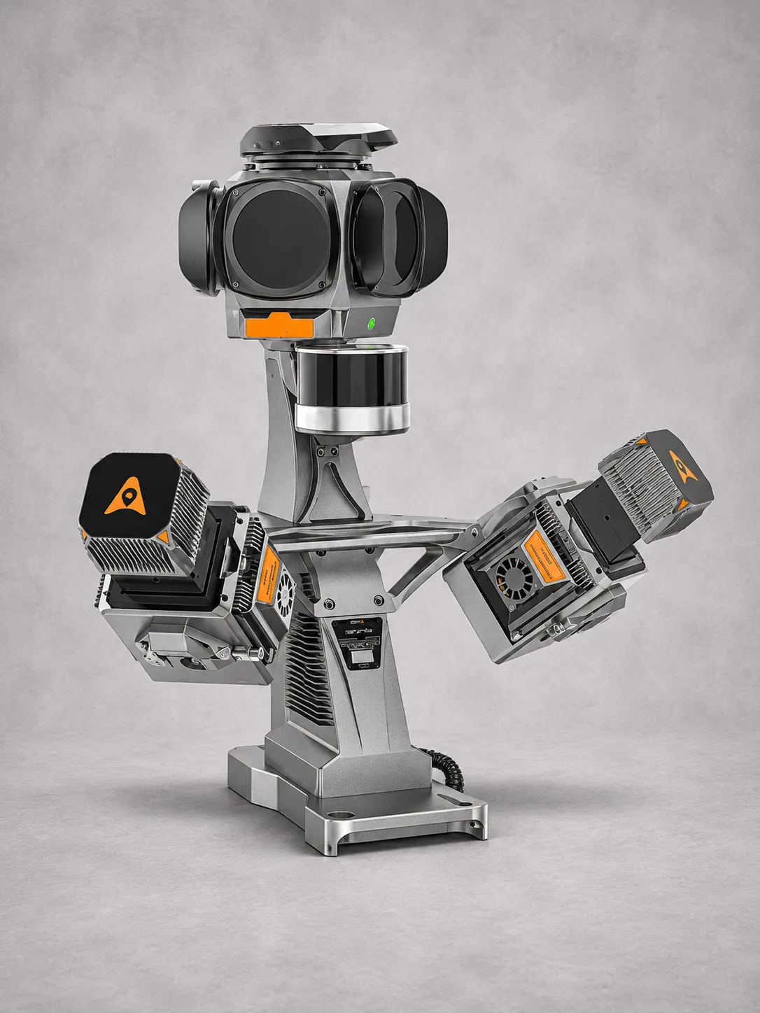
Single- and dual-laser configurations provide flexible coverage. Dual-laser scanning increases point density and reduces blind spots for improved road sign and feature detection.

The AP7 platform supports up to eight external sensors, including pavement cameras and compatible C4800, C7200, Ladybug5+ and Ladybug6 panoramic cameras.

AI-powered processing filters moving objects and improves point cloud colourization. Automated alignment correction uses control points to reduce mapping errors to within 2 cm under specified conditions.

Full-constellation GNSS, a 600 Hz IMU and 2 TB storage support efficient data acquisition. IP64 protection and operating temperatures from −20°C to +50°C suit demanding fieldwork.

Download Datasheet


Need Help?

600 N Michigan Ave, Chicago, IL 60611, USA

Open in Maps hi.amere@gmail.com 315-666-6688

Compare products

Your Compare is curently empty

Compare
Clear All
Image
Image
Image
Image
Image
Image
Image
Quick View

Clothing

Lyocell wrap top

(134 reviews)
18 sold in last 32 hours

$59.99

$98.99

-25%

The garments labelled as Committed are products that have been produced using sustainable fibres or processes, reducing their environmental impact.

28 people are viewing this right now