
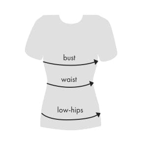
Measuring Tips
Measure around the fullest part of your bust.
Measure around the narrowest part of your torso.
With your feet together measure around the fullest part of your hips/rear.
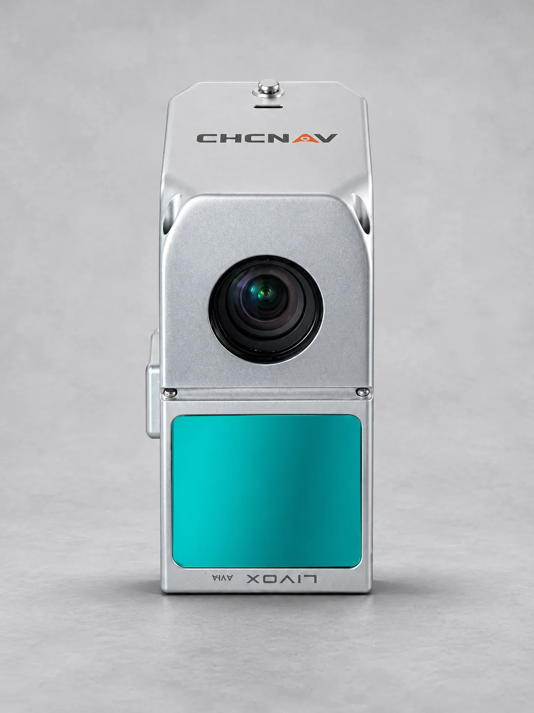
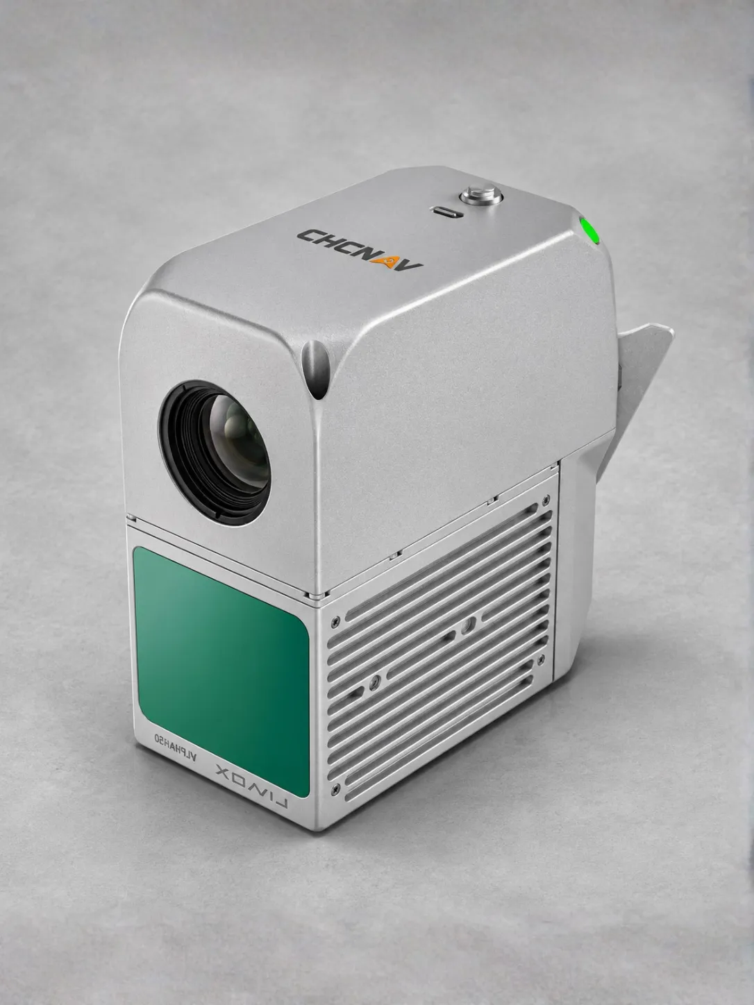
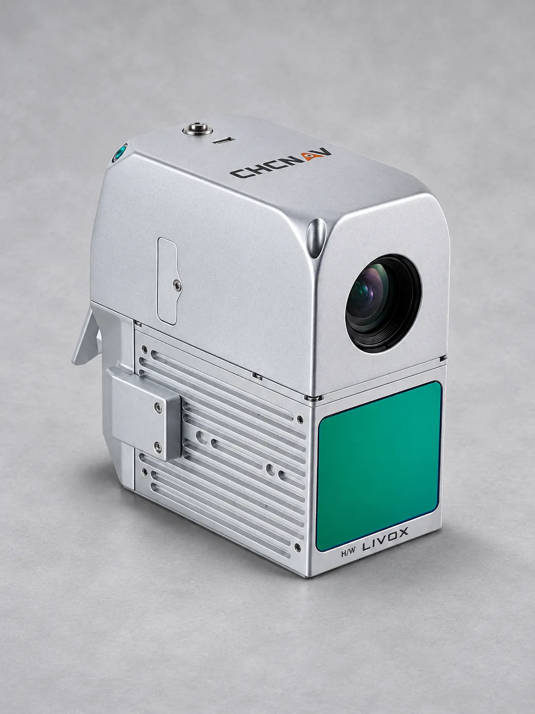
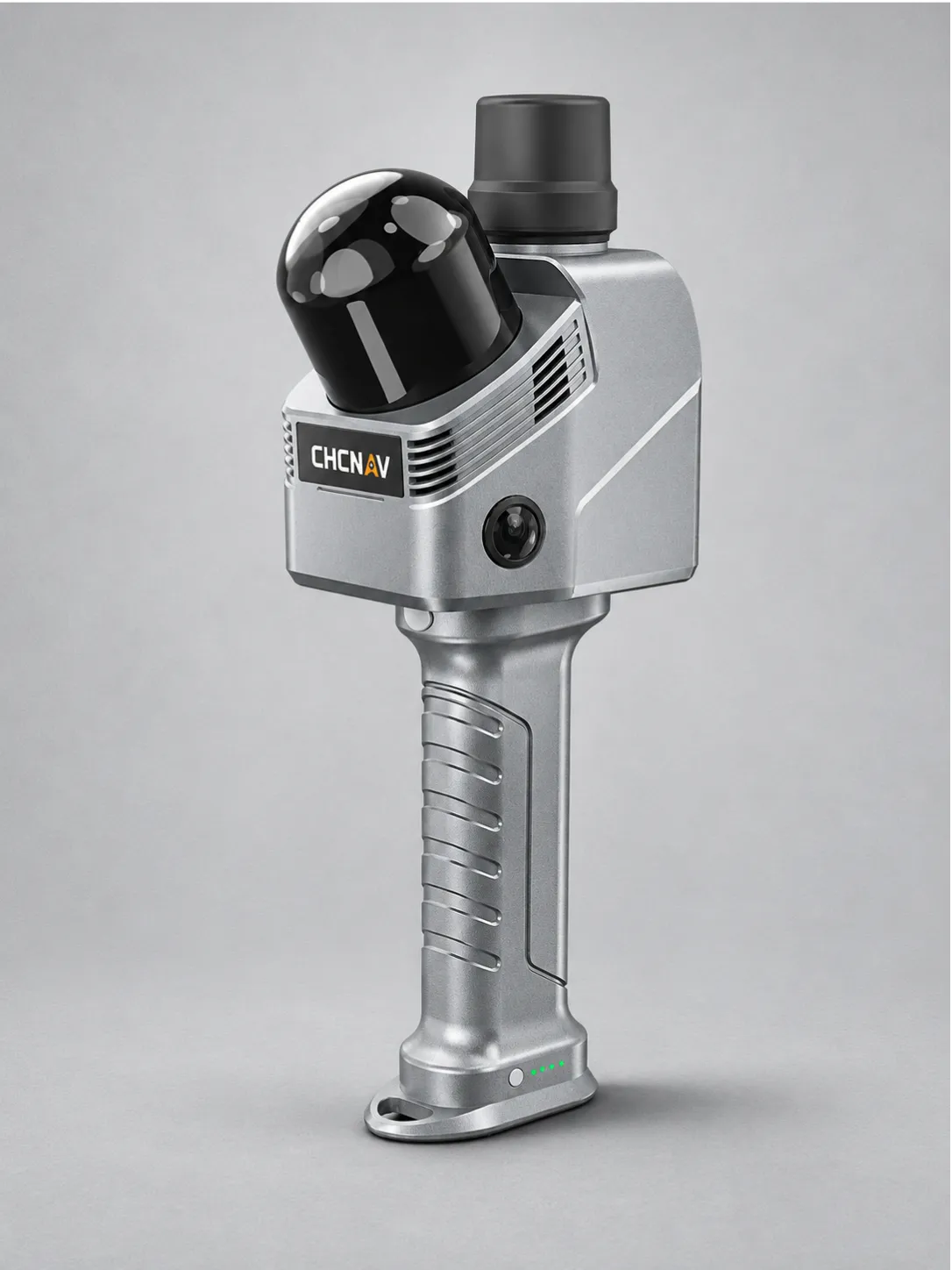
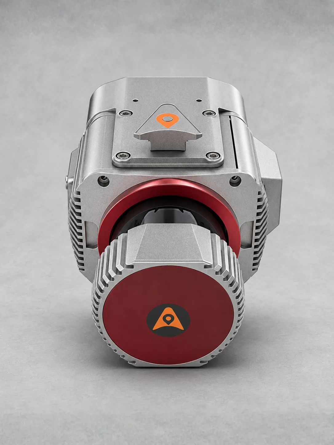
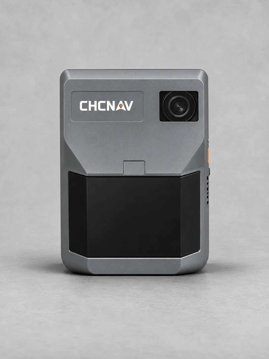
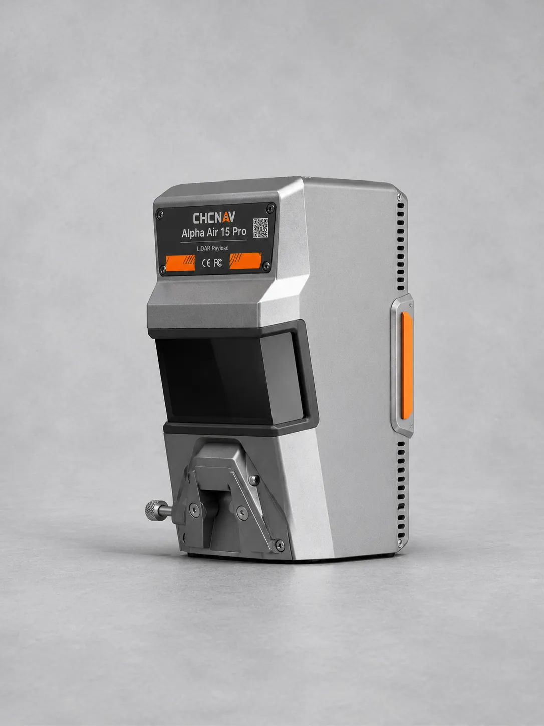
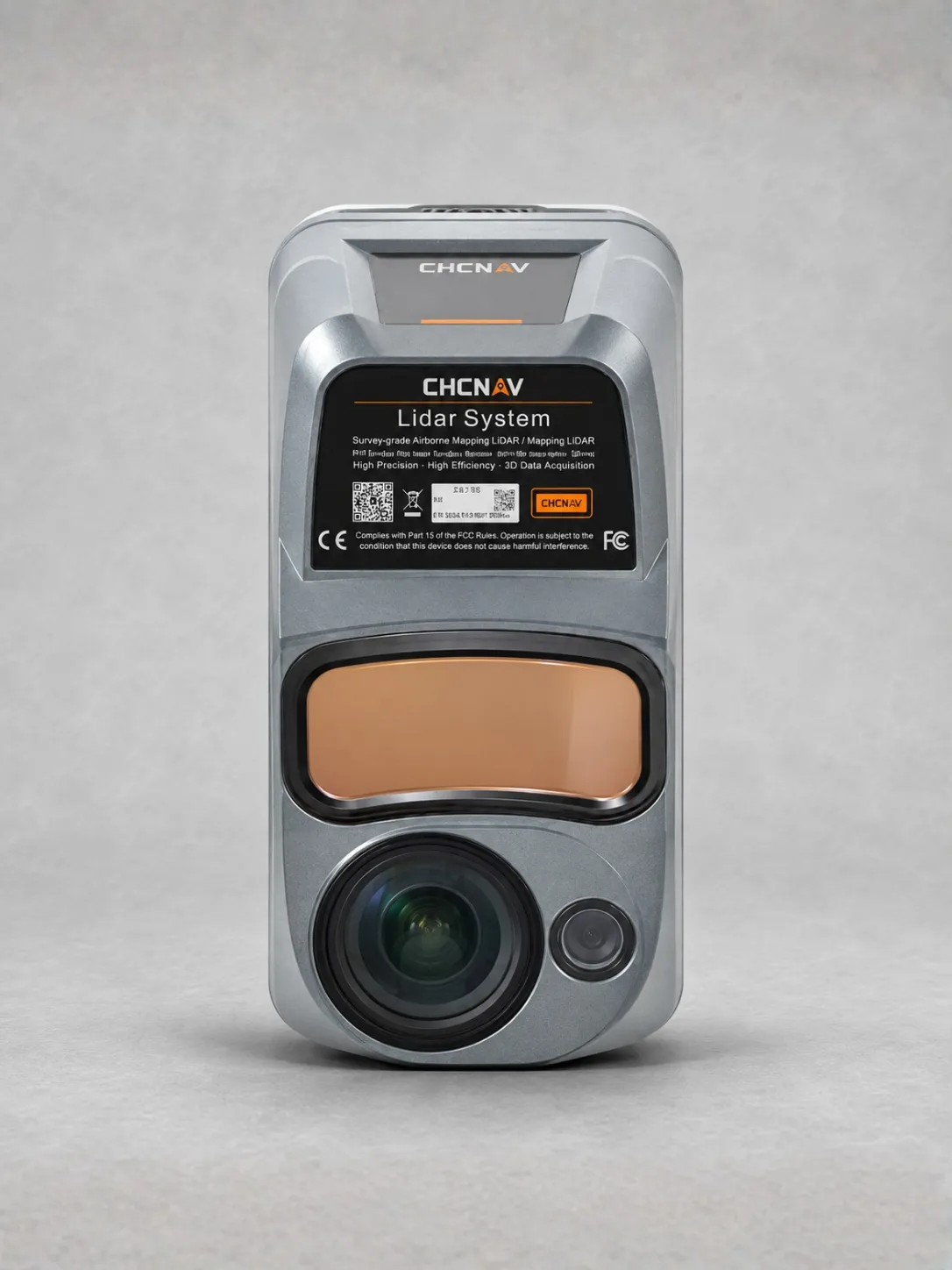
The CHCNAV AlphaAir 450 is an easy-to-use airborne LiDAR and RGB system for topographic mapping, mining surveys, watershed mapping and infrastructure inspection.
Its integrated LIVOX AVIA laser scanner offers a maximum range of 450 metres, a 70.4° field of view and up to three returns for detailed spatial data capture.
A professional 26 MP industrial camera captures high-resolution imagery alongside LiDAR data, supporting accurate mapping and geospatial reality capture.
Full-constellation GNSS and a 500 Hz IMU provide precise positioning and orientation, with stated accuracy of 10 cm horizontally and 5 cm vertically under specified conditions.
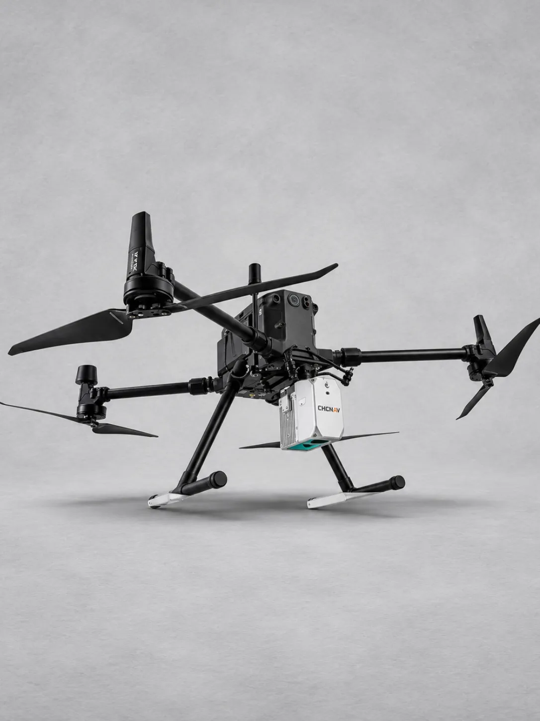
Weighing just 0.95 kg, the compact AA450 supports convenient UAV installation. Its Skyport interface simplifies integration with compatible DJI and other UAV platforms.
Built-in 256 GB storage supports field data collection. IP64 protection and operating temperatures from −20°C to +50°C provide durability for demanding aerial survey tasks.
Clothing
$98.99
-25%The garments labelled as Committed are products that have been produced using sustainable fibres or processes, reducing their environmental impact.
Buy $70.00 more to get freeship
Your cart is currently empty. Let us assist you in finding the right product